
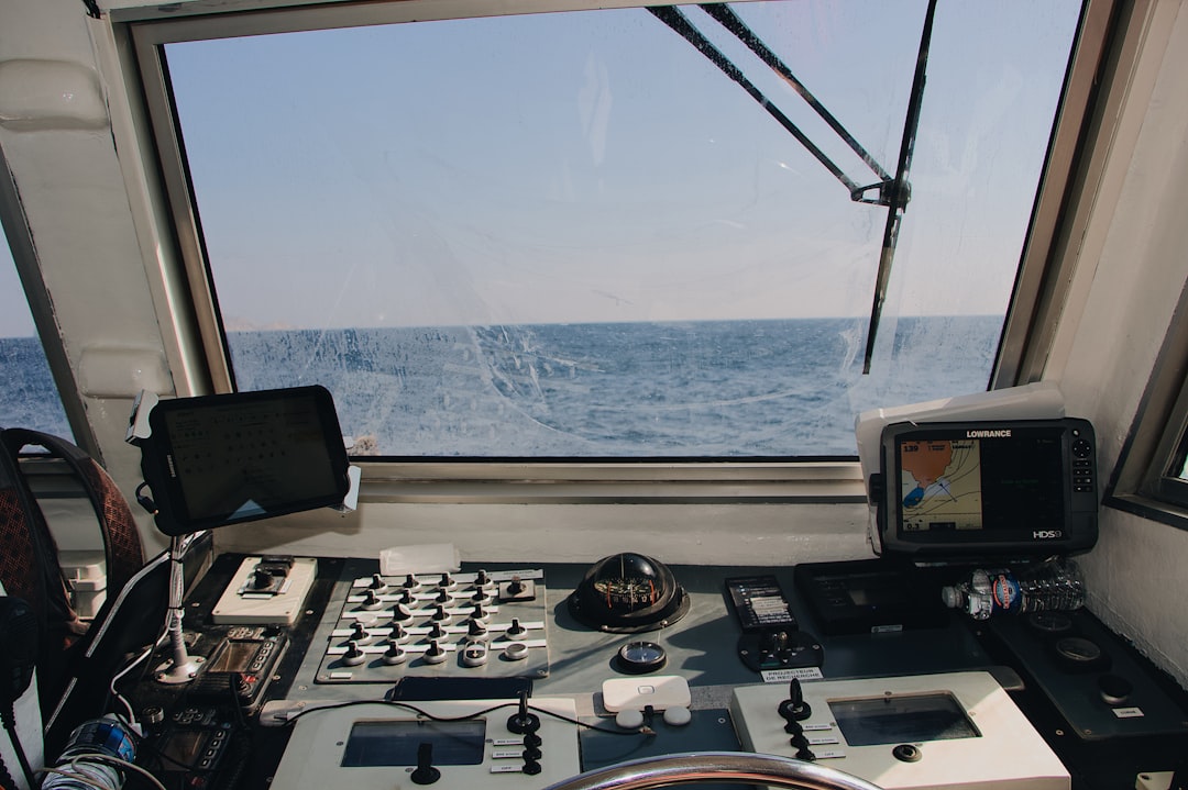
Sailing has entered a new era of digital precision, where smartphones and tablets are just as essential as compasses and paper charts. Marine navigation apps have transformed how sailors plot routes, monitor weather, avoid hazards, and communicate at sea. Whether navigating coastal waters or planning offshore passages, modern tools provide real-time data that significantly enhance safety and efficiency. From weekend boaters to seasoned offshore cruisers, today’s sailors rely on advanced marine apps to make smarter navigational decisions.
TLDR: Marine navigation apps help sailors plan smarter routes, monitor weather, identify hazards, and improve safety at sea. The best apps combine GPS charting, AIS tracking, weather forecasting, and offline capabilities. This article highlights seven trusted marine navigation apps and compares their key features. A helpful FAQ section at the end answers common questions for beginners and experienced sailors alike.
Below are seven marine navigation apps that help sailors sail smarter and safer.
Table of Contents
1. Navionics Boating
Navionics Boating is widely considered one of the most comprehensive marine navigation apps available. It offers detailed nautical charts, sonar charts, and community edits contributed by fellow boaters. The app supports route planning, tide and current information, and automatic routing that considers chart data and water depth.
Sailors appreciate its intuitive interface and offline map capabilities, making it reliable even when offshore without internet access. Real-time GPS tracking ensures accurate positioning throughout the voyage.
- Best for: Coastal cruising and inland water navigation
- Key feature: Community-sourced chart updates
- Offline access: Yes
2. iNavX
iNavX is known for its flexibility and compatibility with multiple chart providers. It allows integration with onboard instruments via Wi-Fi, including AIS receivers and GPS devices. This makes it especially valuable for sailors who want comprehensive onboard integration.
With advanced waypoint management and satellite weather overlays, iNavX is favored by more technically inclined sailors who prefer customizable dashboards and routing features.
- Best for: Advanced users and offshore cruising
- Key feature: Instrument integration with AIS and GPS
- Offline access: Yes
3. Savvy Navvy
Savvy Navvy simplifies marine navigation with an easy-to-use interface often described as “Google Maps for boats.” It automatically factors in tides, weather, and vessel data to create optimized routes.
This app is ideal for beginners and recreational boaters who want reliable guidance without navigating overly technical interfaces. Its clean display and predictive routing reduce decision fatigue while improving voyage planning accuracy.
- Best for: Beginners and day sailors
- Key feature: Automatic route optimization with tide and weather data
- Offline access: Limited features available offline
4. Windy
While not exclusively a marine navigation app, Windy is an essential companion for sailors focused on weather awareness. It provides high-resolution wind, wave, and precipitation forecasts using multiple weather models.
Its animated wind maps help sailors anticipate storm systems and adjust routes accordingly. For offshore passages, Weather routing decisions often depend heavily on tools like Windy.
- Best for: Weather monitoring
- Key feature: Multiple forecast models comparison
- Offline access: Limited
5. Aqua Map
Aqua Map stands out for its affordability and detailed U.S. Army Corps of Engineers data integration in supported regions. It includes anchor alarm features, distance measurement tools, and ActiveCaptain community data.
The anchor alarm is especially useful for overnight stays, alerting sailors if their vessel drifts beyond a preset radius.
- Best for: Anchoring and coastal cruising
- Key feature: Anchor alarm system
- Offline access: Yes
6. SEAiq
SEAiq is a professional-grade navigation app used by both recreational sailors and commercial mariners. It supports official raster and vector charts from hydrographic offices worldwide.
This app excels in precision and chart accuracy, offering advanced AIS tracking and route management features. Though it may have a steeper learning curve, it is a powerful tool for serious navigators.
- Best for: Professional and long-distance sailors
- Key feature: Official hydrographic chart support
- Offline access: Yes
7. C-MAP
C-MAP provides detailed vector charts, weather overlays, and marina information. Its intelligent route planning considers charted dangers and depth contours to suggest safer passages.
The app also includes marina booking tools and points of interest, making it useful not just for navigation but also trip planning.
- Best for: Trip planning and marina navigation
- Key feature: Marina database and hazard-aware routing
- Offline access: Yes
Comparison Chart: Marine Navigation Apps at a Glance
| App | Best For | Offline Charts | AIS Support | Weather Integration | Ease of Use |
|---|---|---|---|---|---|
| Navionics | Coastal cruising | Yes | Yes (with device) | Moderate | High |
| iNavX | Advanced sailing | Yes | Yes | High | Moderate |
| Savvy Navvy | Beginners | Partial | No | High | Very High |
| Windy | Weather forecasting | Limited | No | Very High | High |
| Aqua Map | Anchoring | Yes | Limited | Moderate | High |
| SEAiq | Professional use | Yes | Yes | Moderate | Moderate |
| C-MAP | Trip planning | Yes | Limited | High | High |
Why Marine Navigation Apps Improve Safety
Marine navigation apps enhance safety by providing real-time positioning, hazard identification, and accurate weather forecasting. Many apps support AIS integration, allowing sailors to visualize nearby vessel traffic. Automatic routing features help avoid shallow waters and underwater obstructions.
Additionally, offline capabilities ensure that sailors retain access to critical data even when cell service disappears. Anchor alarms, tide predictions, and storm tracking collectively reduce navigational risks.
While these tools are incredibly powerful, experienced mariners recommend using them as supplements, not replacements, for traditional navigation skills. Paper charts, physical compasses, and prudent seamanship remain essential backups.
FAQ: Marine Navigation Apps
1. Are marine navigation apps accurate enough for offshore sailing?
Yes, many apps provide highly accurate GPS positioning and official chart data. However, they should be used alongside traditional navigation methods and backup systems.
2. Do these apps work without internet access?
Most dedicated marine navigation apps offer offline chart downloads. Weather updates and certain live features may require internet connectivity.
3. What is AIS, and why is it important?
Automatic Identification System (AIS) allows vessels to broadcast their position, speed, and course. Apps that integrate AIS improve collision avoidance, especially in busy waterways.
4. Are free marine navigation apps reliable?
Some free apps provide basic functionality, but premium subscriptions often unlock advanced features like detailed charts, weather overlays, and AIS integration.
5. Can beginners rely solely on navigation apps?
Beginners can greatly benefit from user-friendly apps like Savvy Navvy. However, learning fundamental navigation skills is strongly recommended for safety.
6. Which app is best for weather forecasting?
Windy stands out for highly detailed weather modeling, though many navigation apps integrate basic forecasting tools.
Marine navigation apps have reshaped maritime travel, putting powerful charting, forecasting, and tracking tools in sailors’ hands. By choosing the right app based on skill level and sailing needs, mariners can significantly improve safety, efficiency, and confidence on the water. As digital technology continues evolving, sailing smarter and safer has never been more accessible.